Imachen:Syria adm location map.svg

Fichero orichinal (fichero SVG, nominalment 921 × 806 píxels, grandaria: 274 kB)
Resumen
| Descripción |
Deutsch: Positionskarte von Syrien
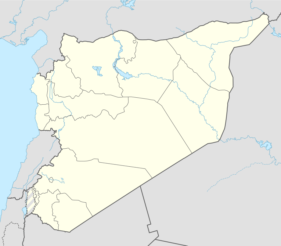
English: Location map of Syria
|
||||||||||||
| Calendata | |||||||||||||
| Fuent |
Trabajo propio utilizando:
|
||||||||||||
| Autor | NordNordWest | ||||||||||||
| SVG desarrollo | El código fuente de esta imagen SVG es válido. Este mapa fue creado con Generator: NordNordWest
|
||||||||||||

Licenciando
Usage of this file with:

explanatory notes: Legally binding is only the full legalcode. For a free usage I recommend to respect the following licence conditions:
1. Provide my name as given above: NordNordWest,
2. a copy of, or the URI for, the applicable license: https://creativecommons.org/licenses/by-sa/3.0/de/legalcode,
3. the title of the work,
4. in the case of an adaptation, a credit identifying the use of the work in the adaptation.
This license and the rights granted hereunder will terminate automatically upon any breach by you of the terms of this license. Any of the above conditions can be waived if you get permission from the copyright holder. If you have questions or wish differing conditions, please contact me through nnwest or my discussion page ![]() t-online.de
t-online.de
- Ye libre:
- de compartir – de copiar, distribuir y transmitir o treballo
- de remezclar – d'adaptar o treballo
- Baixo as siguients condicions:
- atribución d'autoría – Ha d'atribuir l'autoría d'o treballo d'a traza especificada por l'autor u persona que l'haiga licenciau (pero no pas de traza que suchiera que l'autor/os autors refirma(n) u refirma(n) l'uso que faigas d'o treballo).
- compartir igual – En caso d'alterar, transformar u enamplar iste treballo, habrá de distribuir o treballo resultant solament baixo a mesma licencia u beluna equivalent.

Historial d'o fichero
Punche en una calendata/hora ta veyer o fichero como amaneixeba por ixas envueltas.
| Calendata/Hora | Miniatura | Dimensions | Usuario | Comentario | |
|---|---|---|---|---|---|
| actual | 14:05 18 nov 2022 | | 921 × 806 (274 kB) | GrandEscogriffe | more correct N/S stretching |
| 11:51 27 abr 2021 |  | 921 × 761 (190 kB) | NordNordWest | Reverted to version as of 21:21, 26 April 2021 (UTC), COM:OW | |
| 08:54 27 abr 2021 |  | 512 × 423 (117 kB) | ויקי4800 | ImReverted to version as of 18:19, 26 April 2021 (UTC) | |
| 21:21 26 abr 2021 |  | 921 × 761 (190 kB) | NordNordWest | Reverted to version as of 17:52, 27 January 2016 (UTC), nope | |
| 18:19 26 abr 2021 |  | 512 × 423 (117 kB) | ויקי4800 | תיקון גבולות מדינת ישראל | |
| 17:52 27 chi 2016 |  | 921 × 761 (190 kB) | NordNordWest | upd | |
| 15:07 28 set 2015 |  | 921 × 761 (191 kB) | NordNordWest | == {{int:filedesc}} == {{Information |Description= {{de|1=Positionskarte von Syrien}} {{en|1=Location map of Syria}} {{Location map series N |stretching=115 |top=37.6 |bottom=32.0 |left=34.9 |right=42.7 }} |Source={{Own using}} * United States National... |
Uso d'o fichero
As 2 pachinas emplegan iste fichero:
Uso de fichers globals
Os siguients wikis fan servir iste fichero:
- Uso en af.wikipedia.org
- Uso en als.wikipedia.org
- Uso en ar.wikipedia.org
- الدولة الزنكية
- الدولة الإلخانية
- بانياس
- ابن قيم الجوزية
- سجن تدمر
- تفسير ابن كثير
- أرواد
- قائمة مطارات سوريا
- سجن عدرا
- سجن المزة
- بقين
- دير مار موسى الحبشي
- قدسيا الجديدة
- عين حور
- نصيب
- الهامة
- تالين (بانياس)
- قدسيا
- معان (حماة)
- مجزرة الحولة
- ضهر صفرا
- المحطة الحرارية (بانياس)
- بطولة اتحاد غرب آسيا لكرة القدم 2002
- قائمة مواقع التراث العالمي في سوريا
- وحدة:Location map/data/Syria
- ضريح سليمان شاه
- مجزرة حطلة
- مجزرة عدرا
- مطار حماة العسكري
- مجزرة معان
- مجزرة خان العسل
- عمليات القصف في حلب (أبريل–يوليو 2016)
- تفجيرا القامشلي يوليو 2016
- وحدة:Location map/data/Syria/شرح
- تفجيرات 5 سبتمبر 2016 في سوريا
- برهليا
- غارة دير الزور الجوية (سبتمبر 2016)
- الحسينية (ريف دمشق)
- مجزرة الجينة
- الهجوم الصاروخي على مطار الشعيرات 2017
Veyer mas información sobre l'uso global d'iste fichero.